Sorry folks for being away a long long time. Was caught up in a lot of things simultaneously. As far as I remember, I had shared only my first day experience of solo-traveling to Langkawi. I had already started planning my second solo travel to Perhentian Islands in my head. But unfortunately too much has happened in the last 2 years, I returned to India, I was subject to prejudice & chauvinism in my previous organization which had taken a serious toll on my mental health. In this age of Gen Z, mental health is of highest magnitude for folks like us who are drowned in deadlines & project deliveries. Anyway, back to my Langkawi trip which I undertook when the whole world was in the middle of a pandemic & I am happy that I took the decision of solo-tripping.
You can read all about my 1st day at Langkawi & how to reach there here: Langkawi Part 1.
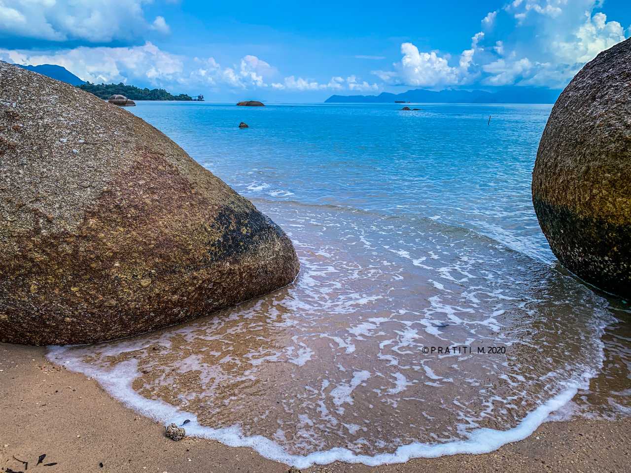
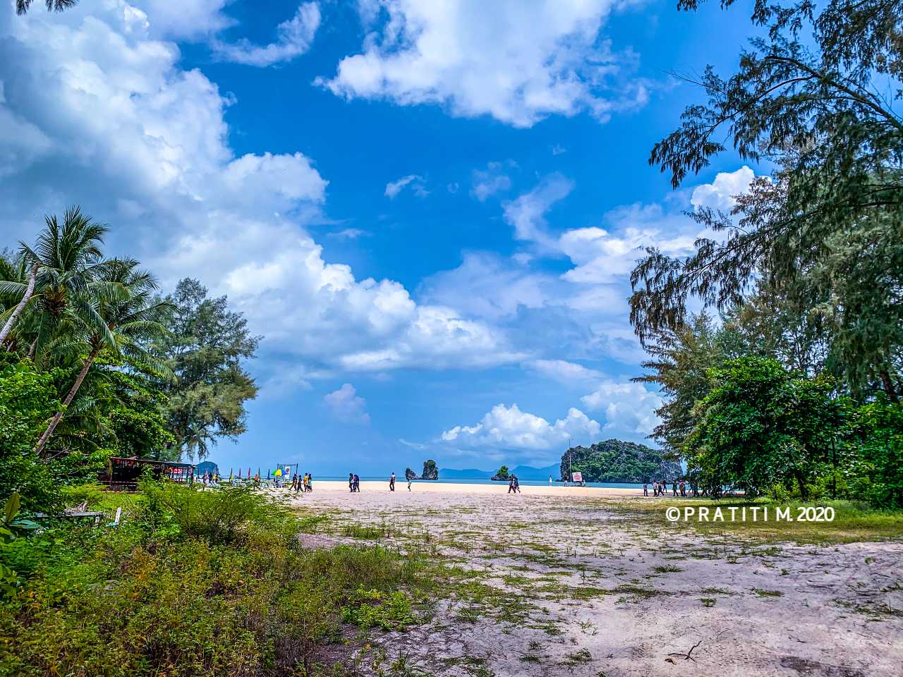
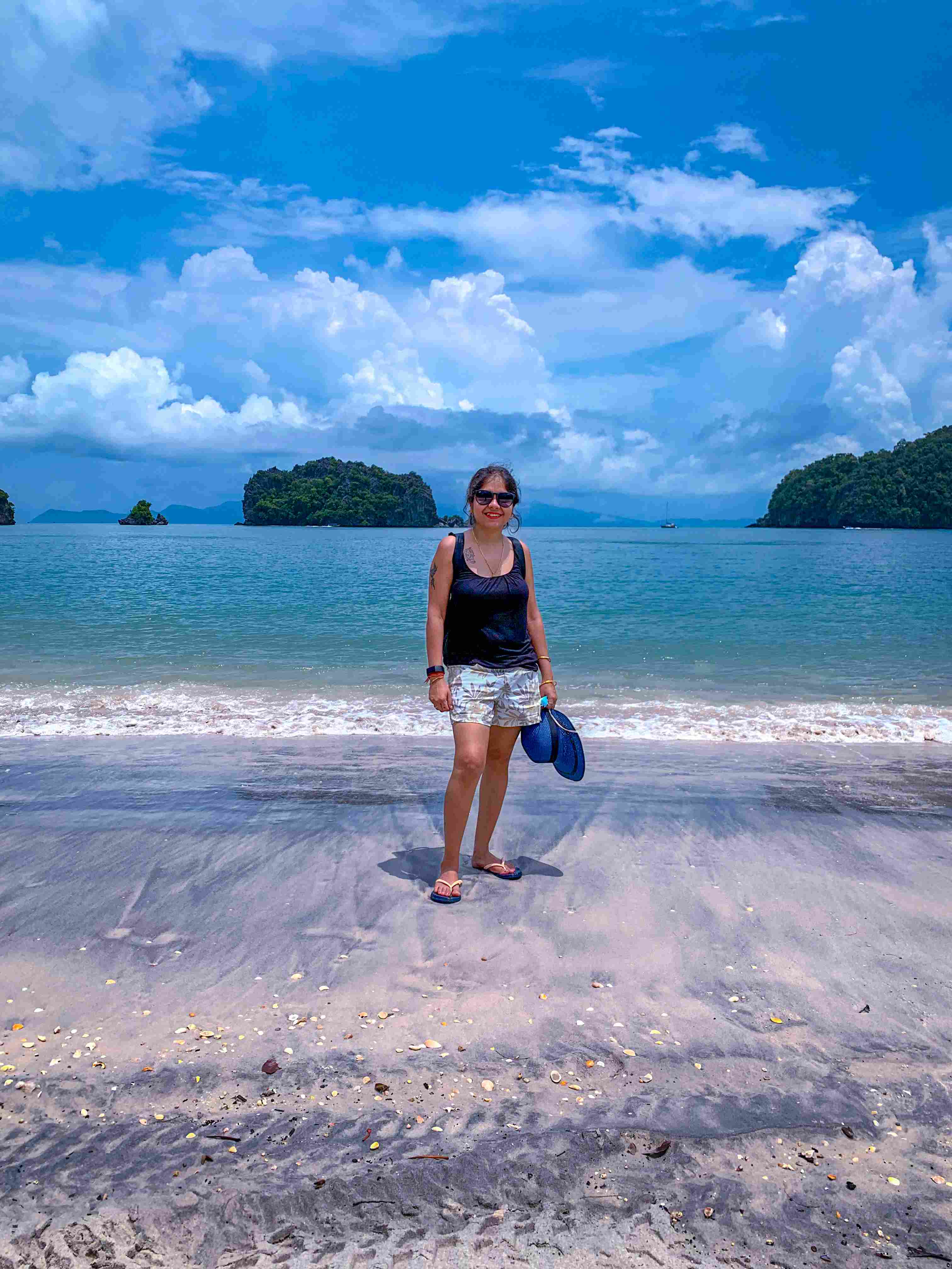
On the 2nd day I decided to travel to North, North East & Southern parts of the island. This is the reason I always opt for a self driven car – no dependencies on any third party/ies. My 1st halt was at at a wild beach adjoining the Pantai Pasir beach. I realized why the beach was called “wild” as it is completely secluded and isolated. I didn’t see any traveler or tourist come to this beach & I had a wonderful me-time here. The only negative aspect of visiting this beach solo was nobody to take my photos so I had to rely on my selfie-taking skills.
This beach is also a classic small scale example of an estuarine system/depositional environment as one can see the picture on the right (terms which only Geologists can decipher 😛).
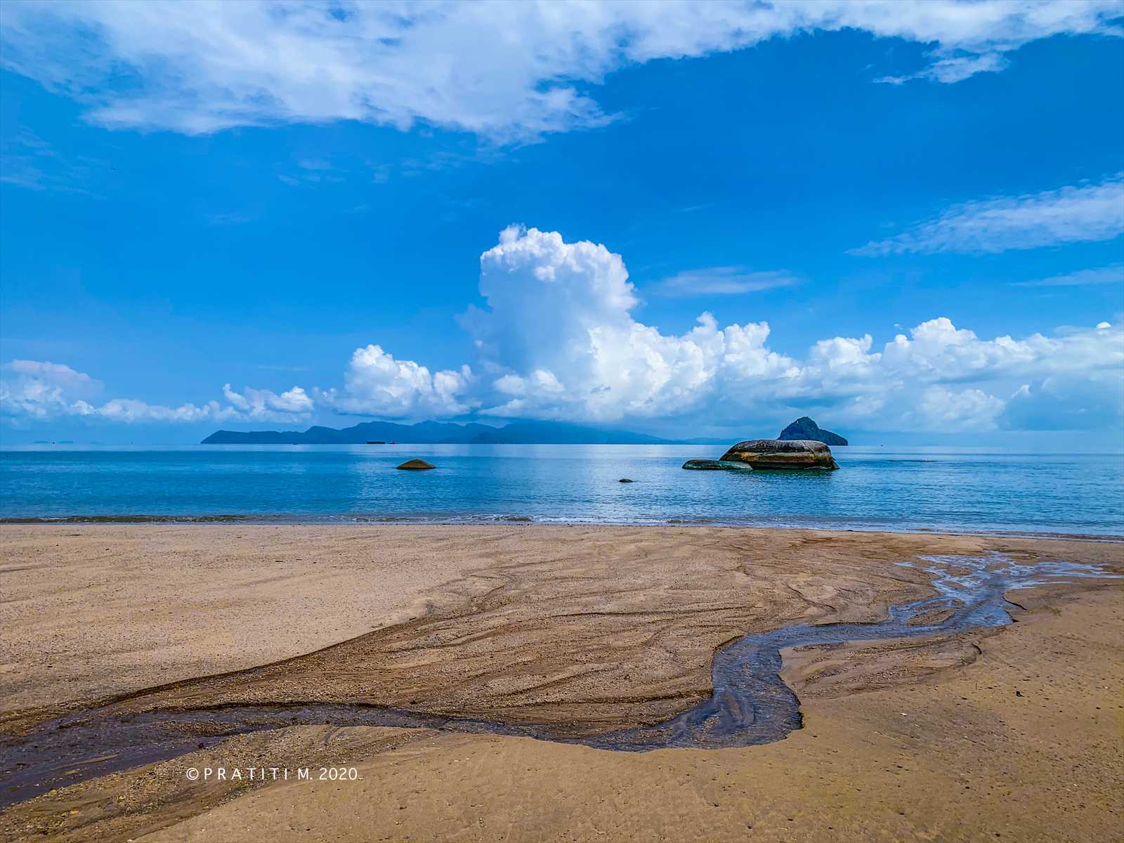
After spending some time here and hopping over the boulders to take ample good pictures, I headed towards Pantai Pasir beach which is also popularly known as the Black Sand beach – no trophies for guessing why it is named that way 😜. Langkawi is a tropical island so the daytimes are extremely humid & hot, sitting near the beach in the shade & enjoying the cool breeze is one way of relaxing before embarking on the next destination which in my case was Tanjung Rhu beach.
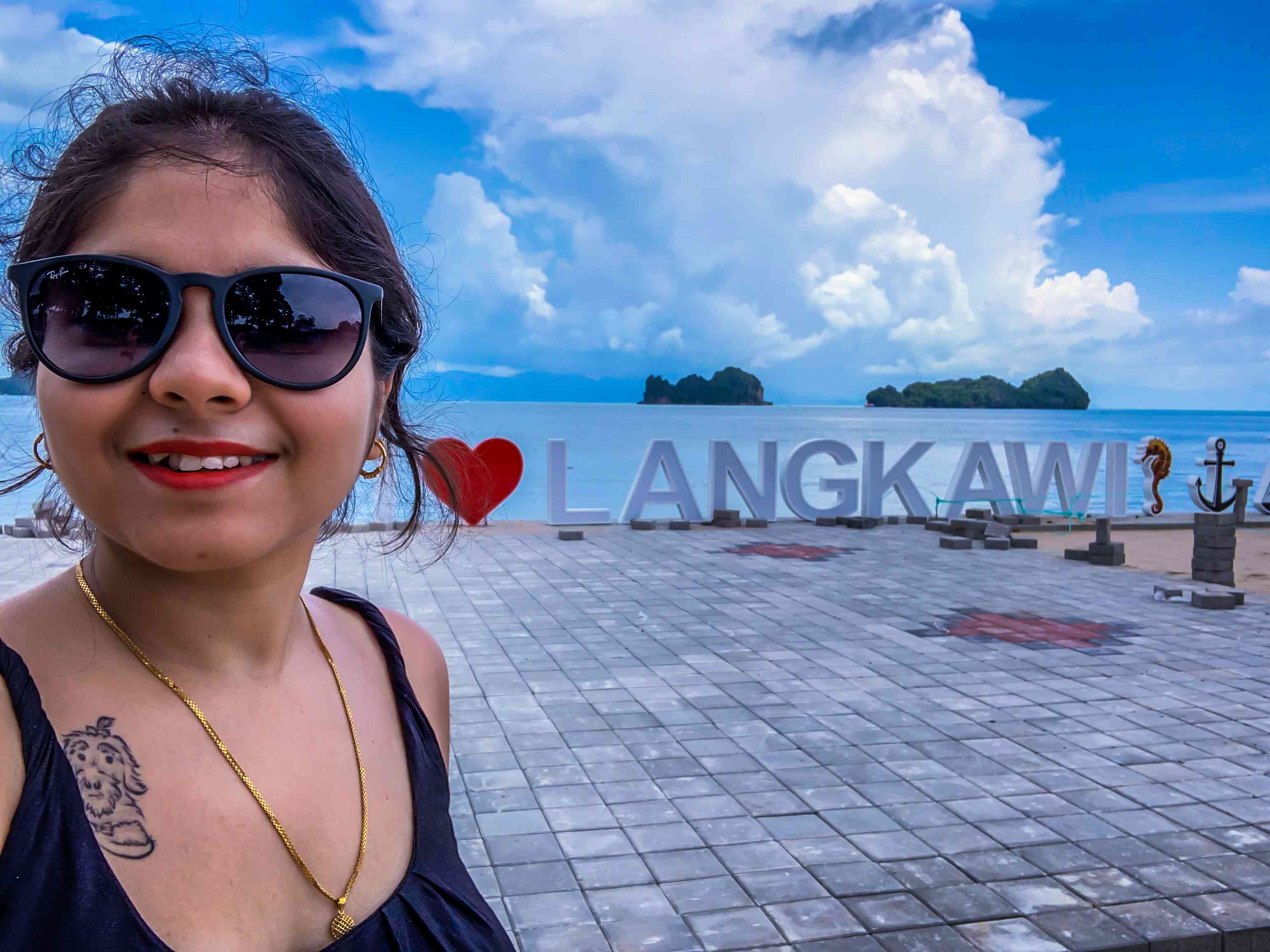
On the way to Tanjung Rhu on Jalan Tanjung Rhu one can come across the “I Love Langkawi” signboard on the left along the extended Tanjung Rhu beach where one can halt for a few minutes for some photo sessions before continuing to the actual beach.
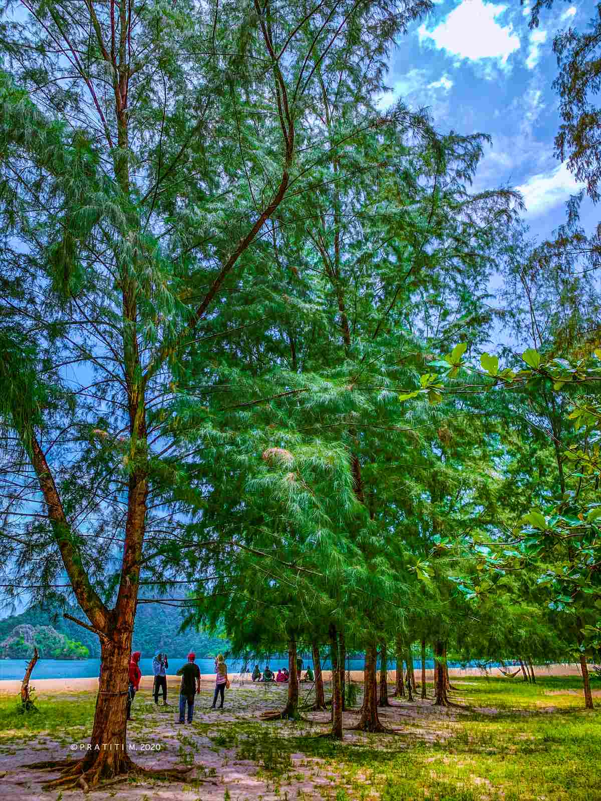
After a few photo sessions here (mind you, this place is the extended Tanjung Rhu beach), I continued along Jalan Tanjung Rhu to reach the beach. Now here there can be a little bit of confusion as to where the entrance to the beach is because the beach is not visible from the parking. On reaching here (Tanjung Rhu Parking), one can park their cars here and walk a few meters towards the beach. I had mistakenly taken the path less frequented by the tourists through the forest but the view at the end through the small clearing took my breathe away.
Once reaching the main Pantai Tanjung Rhu, one can involve in various activities like ATV rides on the beach, mangrove tours in the nearby geo-forest, gorge on the local Malaysian delicacies from the street side food stalls or just chill in the shade at the cafe of Tanjung Rhu resort.
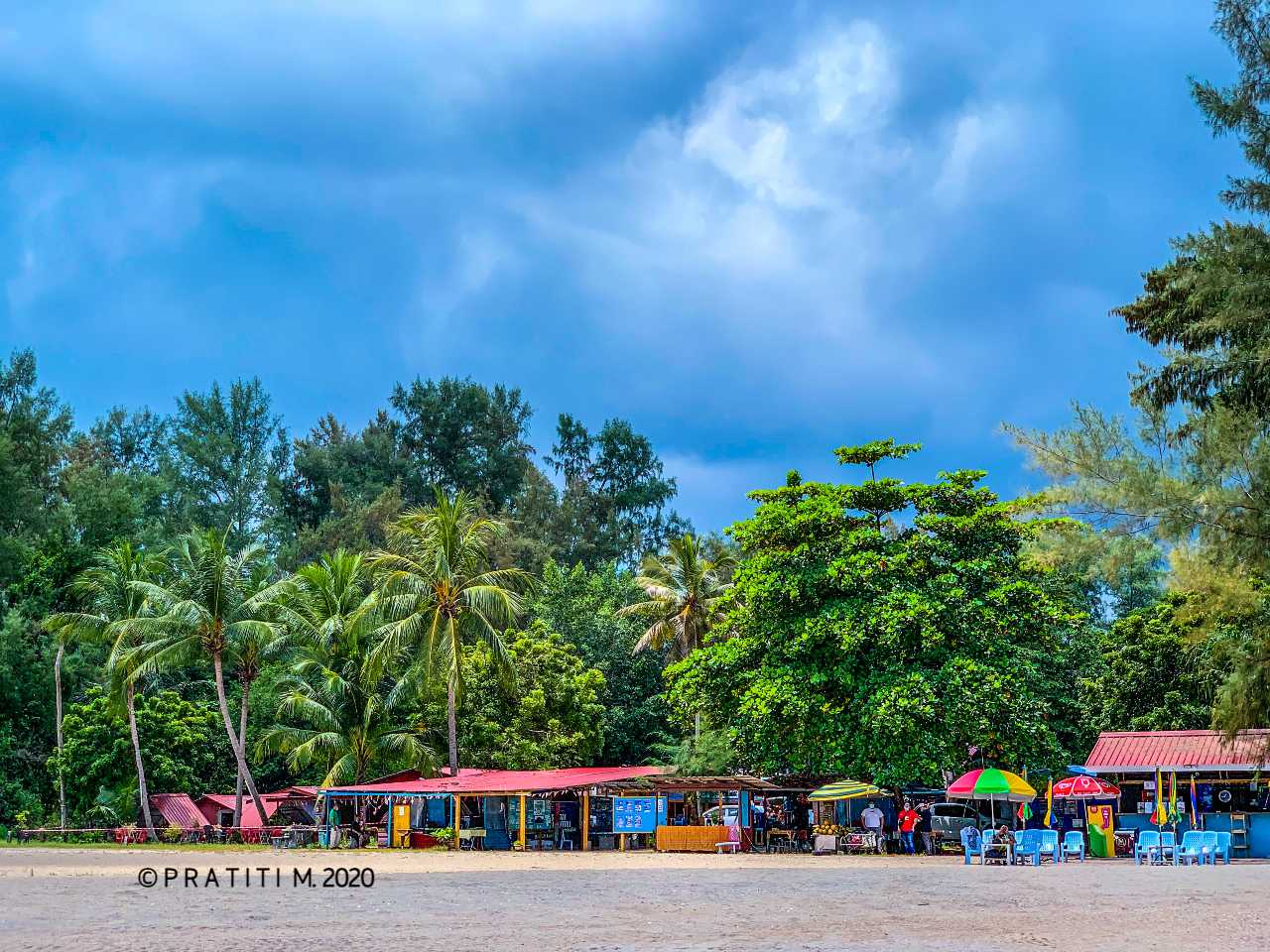
After getting tanned at Pantai Tanjung Rhu and enjoying fresh coconut water from a nearby food stall, I headed towards Ayer Hangat Village is where there are quite a number of present day hot springs and used to be frequented by the tourists but it is closed since December 2022. I didn’t enter when I visited back in August 2020 as I was not too keen on spending money on bathing in the hot spring & having Malaysian local food for lunch (not a fan of seafood you see).
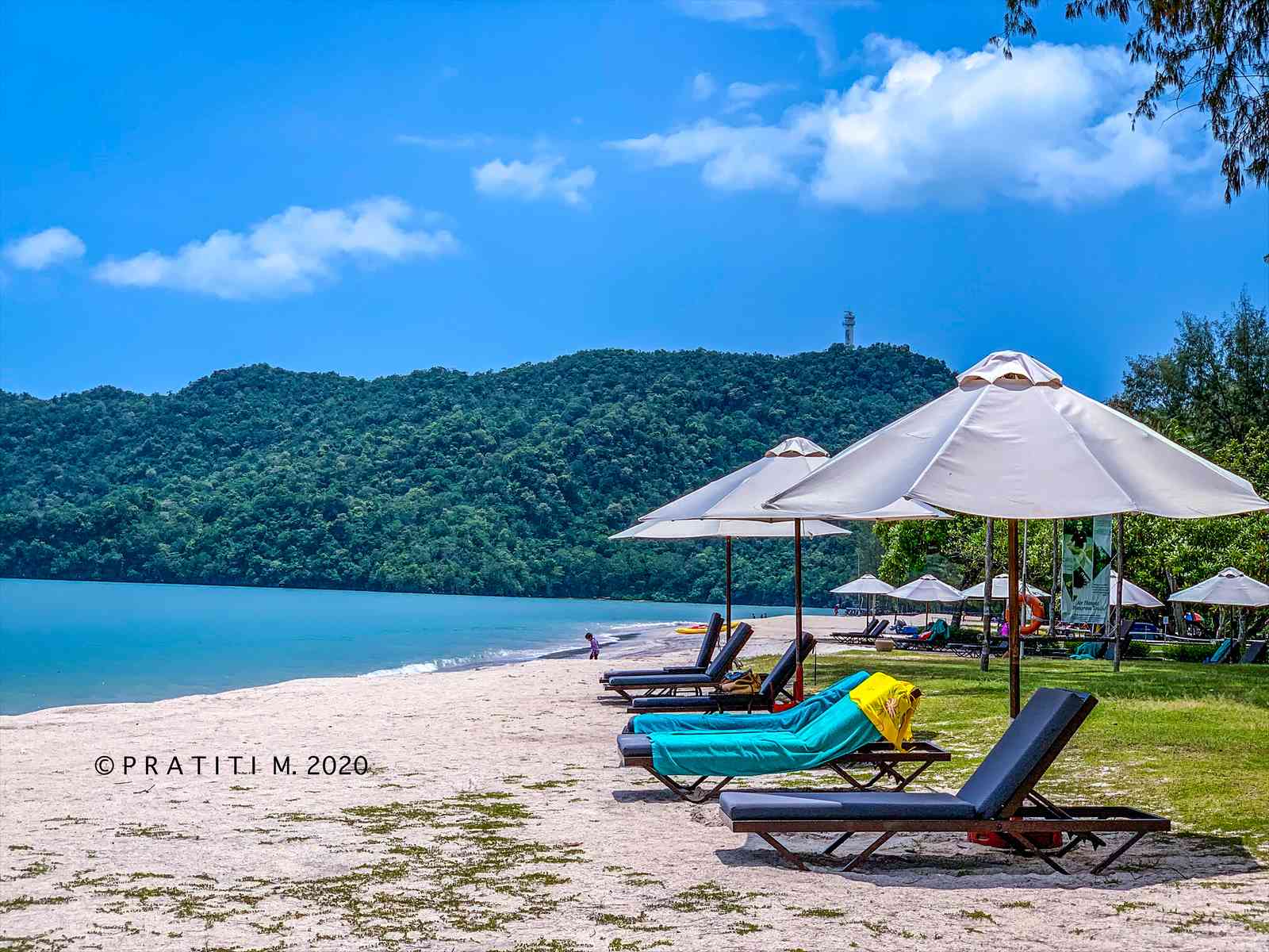
My next stoppage after Ayer Hangat Village was Durian Perangin/Sona Water Falls located at the north of Gunung Raya and is a nice place for people to enjoy the waterfalls, have a bath, picnic together or hike to the top of the waterfalls. There are also a number of food stalls here if one is not carrying any food or refreshments. The slow ascend in height is clearly visible with the sudden change in the weather and clouds floating near the top of Gunung Raya.
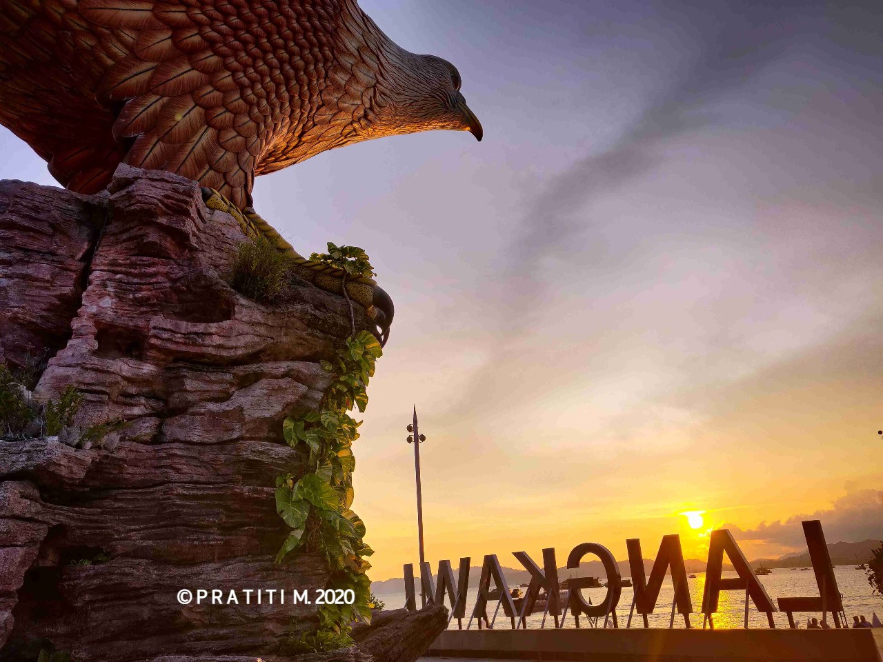
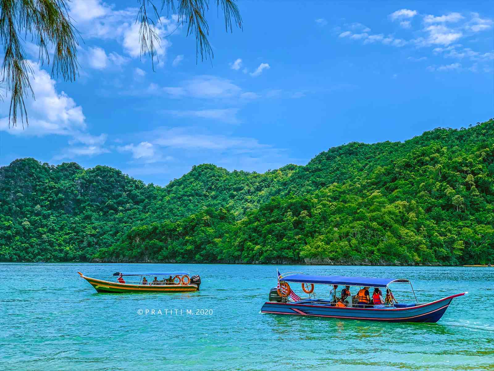
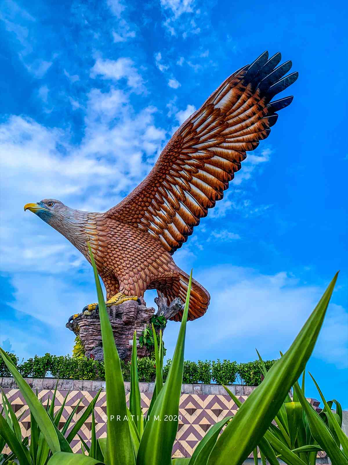
Kilim Geoforest is Nature park featuring mangrove forests, lagoons & beaches, with river tours & a floating restaurant. Much of the rocks of Kilim is made up of the Setul Formation, the oldest carbonate rock in the region, formed 490-370 million years ago. More details about the geoforest can be found here- Kilim Geoforest Park. The tickets for Boat ride to Kilim Geo forest can be bought from here, I was tempted to take the boat ride but it was too pricey for one person (~ RM 500 for one person) so it is preferred to go in groups. I consoled myself saying that the pending boat ride can be another excuse to visit this beautiful UNESCO Global Geopark and headed my way to the final halt of my 2 day Langkawi tour which was Dataran Lang – Dataran in Bahasa meaning square & Lang meaning Eagle, so translating to Eagle Square. It was around 4.30 pm when I reached the Eagle Square and parked my car here (Dataran Lang parking). There is no entrance fee to enter the Eagle Square and decided at once to spend the rest of the evening here and enjoy the sunset.
More photos on my second day at Langkawi will be updated soon. Till then, enjoy reading.